Boating Routes from Central Florida to the Coast
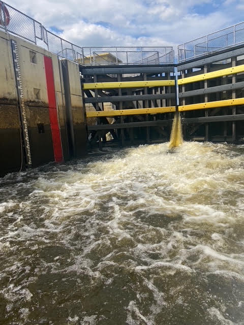
Boating from Inland Central Florida to the Coast
Central Florida is a boater’s paradise with hundreds of interconnected lakes, but one of the most exciting possibilities is boating routes from Central Florida all the way to the Atlantic or Gulf Coast without trailering. Thanks to Florida’s extensive inland waterway system, you can cruise from the Orlando area to the ocean using two major routes: the St. Johns River to the east and the Kissimmee River / Lake Okeechobee Waterway across the state.
Here’s everything you need to know about these legendary Florida boating routes.
1. The St. Johns River Route – East Coast Access to Jacksonville
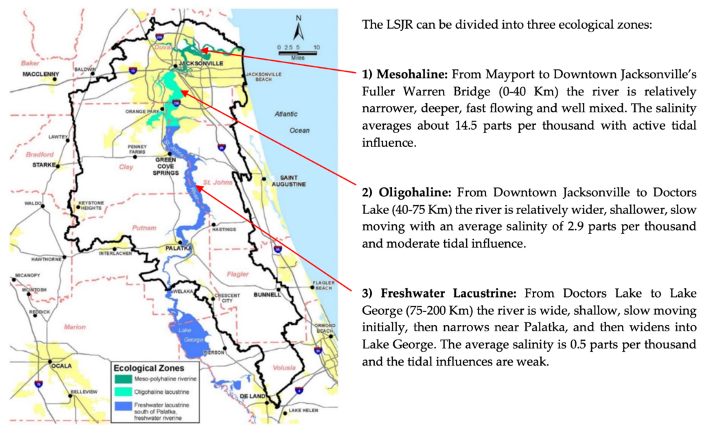
The St. Johns River is Florida’s longest river and flows north (unusual for U.S. rivers). It offers one of the most scenic and accessible ways to reach the Atlantic Ocean from Central Florida.
- Starting Point: Lake Monroe in Sanford (about 30–45 minutes north of Orlando)
- Total Distance to Jacksonville: Approximately 138–160 nautical miles
- Typical Travel Time: 3–7 days depending on speed, stops, and weather
Key Highlights Along the Route:
- The river winds through beautiful cypress swamps, marshes, and hardwood forests teeming with wildlife — including manatees, eagles, alligators, and osprey.
- Major stops include Palatka, Welaka, Lake George (Florida’s second-largest lake), and Green Cove Springs.
- As you approach Jacksonville, you’ll pass under the city’s famous bridges and enter the Atlantic Intracoastal Waterway (ICW), giving you access to Mayport Inlet and the open Atlantic Ocean.
- The river is well-marked and maintained by the U.S. Army Corps of Engineers. Fixed bridges limit air draft to about 45 feet south of Jacksonville, so sailboats with taller masts have restrictions.
This route is popular with Great Loop cruisers and offers numerous marinas, anchorages, and waterfront restaurants. It’s generally considered the easier and more relaxing of the two major routes.
2. The Kissimmee River Chain + Lake Okeechobee Waterway – Cross-State Adventure
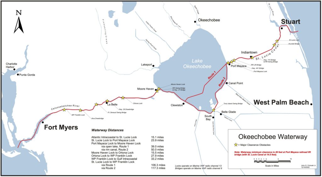
This southern route lets you cross the entire Florida peninsula from the Orlando/Kissimmee area to either coast.
- Starting Point: The Kissimmee Chain of Lakes (Lake Toho, East Toho, Lake Kissimmee, etc.)
- Route: Kissimmee River → Lake Okeechobee → Okeechobee Waterway
- Total Distance: Roughly 150–200+ miles depending on your destination

Route Breakdown:
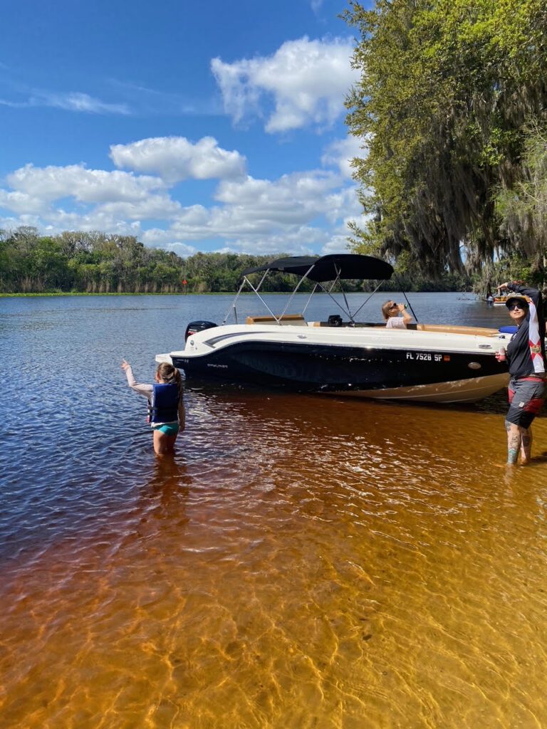
- From the Kissimmee Chain, you enter the Kissimmee River, which flows south into massive Lake Okeechobee (the second-largest freshwater lake in the U.S.).
- On Lake Okeechobee you have two options: a direct crossing or the longer “rim route” along the southern shoreline.
- From the lake, you can head east via the St. Lucie Canal to Stuart and the Atlantic, or west via the Caloosahatchee River to Fort Myers and the Gulf of Mexico.
- The full Okeechobee Waterway spans about 154 miles from Stuart to Fort Myers.
Important Navigation Details:
- Multiple locks (typically 5 on the main waterway) — you’ll need to time your arrivals with lock schedules.
- Depths can vary with lake levels and rainfall — always check current conditions with the U.S. Army Corps of Engineers or South Florida Water Management District.
- Lake Okeechobee can get choppy in strong winds, so plan accordingly.
This route is an epic adventure for experienced boaters, offering everything from remote river sections to vast open-water lake crossings and charming waterfront towns like Clewiston and LaBelle.
Above: Detailed map of the Okeechobee Waterway showing the routes across Lake Okeechobee to both coasts.
Route Comparison
| Route | Distance (approx.) | Best For | Locks | Difficulty | Best Season |
|---|---|---|---|---|---|
| St. Johns River | 138–160 nautical miles | Scenic river cruising | Few | Moderate | Year-round |
| Kissimmee → Okeechobee | 150–200+ miles | Cross-state adventure | 5+ | More Challenging | Fall–Spring (avoid summer storms) |
Navigation Tips for Both Routes
- Always check current water levels, lock schedules, and bridge openings.
- Carry up-to-date charts (paper or electronic — apps like Navionics or Garmin are popular).
- Fuel and pump-out facilities are available but spaced out — plan your stops.
- Watch for shallow areas, especially on the Kissimmee River and parts of Lake Okeechobee.
- Florida’s weather can change quickly — monitor forecasts closely.
Whether you’re dreaming of reaching Jacksonville’s skyline on the Atlantic side or crossing to the Gulf via Fort Myers, these inland routes showcase some of Florida’s most beautiful and historic waterways.
Ready to explore Central Florida’s lakes and beyond? Visit boatstoyourentals.com to see our fleet of premium boats perfect for day trips on the area’s many lakes and chains.
Captain Mike